Long and Lat of Address: What It Means and How to Find It
What is the long and lat of an address? Learn how latitude and longitude work, their history, and three free ways to find coordinates for any address worldwide.
Every location on Earth has a unique numeric address — two numbers called latitude and longitude. When someone asks for "the long and lat of an address," they want these two numbers that pinpoint a specific spot on the planet. A street address like "350 5th Ave, New York" is how humans describe locations. The long and lat — 40.7484, -73.9857 — is how machines describe the same place.
This guide explains what longitude and latitude actually are, where the system comes from, how it works in the technology you use every day, and three ways to find the coordinates of any address — for free.
What Are Latitude and Longitude?
Latitude and longitude are the two components of the geographic coordinate system — a mathematical framework for identifying any point on the surface of a sphere. Earth is not a perfect sphere, but it is close enough that the system works with remarkable precision.
Latitude (Lat)
Measures how far north or south a location is from the equator. The equator is 0°. The North Pole is +90°. The South Pole is -90°. Lines of latitude run east-west around the globe, parallel to the equator.
Longitude (Long)
Measures how far east or west a location is from the Prime Meridian (an imaginary line running through Greenwich, London). Ranges from -180° (west) to +180° (east). Lines of longitude run north-south, converging at the poles.
Together, latitude and longitude form a grid that covers the entire planet. Every intersection of a latitude line and a longitude line defines a unique point. The more decimal places you use, the more precise that point becomes — from continent-scale down to individual centimeters.
Where Did Latitude and Longitude Come From?
The concept of dividing the Earth into a grid is surprisingly ancient. The Greek astronomer Hipparchus proposed a coordinate system based on 360 degrees around 150 BC — borrowing the 360-degree circle from Babylonian mathematics. By the 2nd century AD, Ptolemy had published a geography book listing the coordinates of over 8,000 locations across the known world.
Latitude was relatively easy to determine — sailors could calculate it by measuring the angle of the North Star or the sun above the horizon. Longitude was the hard problem. Without accurate clocks, there was no reliable way to measure east-west position at sea. The "longitude problem" was so critical to maritime navigation that the British Parliament offered a £20,000 prize in 1714 (roughly £4 million today) for a practical solution.
The solution came from John Harrison, a self-taught clockmaker who built a series of marine chronometers precise enough to keep time at sea. By comparing local noon (when the sun is highest) with the time at Greenwich shown by the chronometer, sailors could calculate their longitude. Harrison’s H4 chronometer, completed in 1761, was accurate to within 1.25 seconds per day — enough to determine longitude to within about 30 kilometers.
Today, GPS satellites have replaced chronometers. Your smartphone determines its latitude and longitude by measuring the time signals take to arrive from at least four GPS satellites orbiting 20,200 km above Earth. The math is different, but the underlying concept — using time to determine position — is the same idea Harrison proved 260 years ago.
How Latitude and Longitude Work in Everyday Life
You use latitude and longitude hundreds of times a day without thinking about it. Every location-aware app on your phone, every delivery you track, every weather forecast you check — they all run on coordinates behind the scenes.
Ride-Sharing
When you request an Uber or Lyft, your phone sends its GPS coordinates to the server. The driver’s phone sends its coordinates too. The app calculates distance and ETA using the lat/long of both points — not street addresses.
Food Delivery
DoorDash, Uber Eats, and Deliveroo use coordinates to track drivers in real time. The delivery pin on your map is a lat/long pair. The restaurant location is another. Route optimization runs on coordinates, not street names.
Weather
Weather apps use your phone’s coordinates to fetch hyper-local forecasts. The weather grid is divided by latitude and longitude — the forecast for 40.74°N, 73.98°W is different from the one a kilometer away.
Photo Geotagging
Every photo you take with location services enabled embeds GPS coordinates in the image file (EXIF data). When Google Photos or Apple Photos shows you "Photos from New York" — it read the lat/long from the file.
Navigation
Google Maps, Waze, and Apple Maps calculate routes between coordinates, not addresses. When you type a destination, the first thing that happens is geocoding — converting your address to lat/long. Then routing begins.
Emergency Services
When you call 911 from a mobile phone, the network transmits your GPS coordinates to the dispatch center. Reverse geocoding converts those coordinates to a dispatch address — often faster than you can say where you are.
Coordinate Formats: Decimal Degrees vs DMS
Coordinates come in two main formats. Modern software uses decimal degrees exclusively. Traditional navigation and aviation still use degrees-minutes-seconds.
| Format | Example (NYC) | Used By |
|---|---|---|
| Decimal Degrees (DD) | 40.7128, -74.0060 | Google Maps, GPS devices, APIs, databases, QGIS, Tableau — the universal standard |
| Degrees Minutes Seconds (DMS) | 40° 42’ 46” N, 74° 0’ 22” W | Aviation, marine charts, military maps, traditional cartography |
When finding the long and lat of an address for mapping, data analysis, or any software purpose, always use decimal degrees. CSV2GEO, Google Maps, and every modern geocoding tool outputs this format.
How Precise Are Coordinates?
The number of decimal places in a coordinate determines how precisely it identifies a location. More decimals mean a smaller area on the ground.
| Decimal Places | Ground Precision | Real-World Example |
|---|---|---|
| 0 (40, -74) | ~111 km | Points to a region the size of a small country |
| 1 (40.7, -74.0) | ~11.1 km | A large city area — Manhattan-scale |
| 2 (40.71, -74.01) | ~1.1 km | A neighborhood — "Lower Manhattan" |
| 3 (40.712, -74.006) | ~111 meters | A city block |
| 4 (40.7128, -74.0060) | ~11 meters | A specific building — the standard for geocoding |
| 5 (40.71280, -74.00600) | ~1.1 meters | A specific entrance or parking spot |
| 6 (40.712800, -74.006000) | ~0.11 meters | Centimeter-level — surveying and construction |
For finding the long and lat of a street address, 4 decimal places is the practical standard. It identifies a specific building. Going beyond 5 decimal places adds no value for address-level geocoding — you are measuring to precision smaller than the building itself.
Latitude and Longitude of Major World Cities
Here are the coordinates of 15 major cities worldwide. These are city-center coordinates — to get the long and lat of a specific address within these cities, use the lookup tool below.
| City | Country | Latitude | Longitude |
|---|---|---|---|
| New York | US | 40.7128 | -74.0060 |
| London | GB | 51.5074 | -0.1278 |
| Tokyo | JP | 35.6762 | 139.6503 |
| Paris | FR | 48.8566 | 2.3522 |
| Sydney | AU | -33.8688 | 151.2093 |
| São Paulo | BR | -23.5505 | -46.6333 |
| Dubai | AE | 25.2048 | 55.2708 |
| Berlin | DE | 52.5200 | 13.4050 |
| Toronto | CA | 43.6532 | -79.3832 |
| Mumbai | IN | 19.0760 | 72.8777 |
| Mexico City | MX | 19.4326 | -99.1332 |
| Rome | IT | 41.9028 | 12.4964 |
| Singapore | SG | 1.3521 | 103.8198 |
| Cape Town | ZA | -33.9249 | 18.4241 |
| Moscow | RU | 55.7558 | 37.6173 |
Notice the patterns: cities in the northern hemisphere have positive latitudes, southern hemisphere negative. Cities in the Americas have negative longitudes (west of Greenwich), while cities in Europe, Africa, and Asia have positive longitudes (east of Greenwich). Singapore sits almost exactly on the equator at latitude 1.35°.
Three Ways to Find the Long and Lat of Any Address
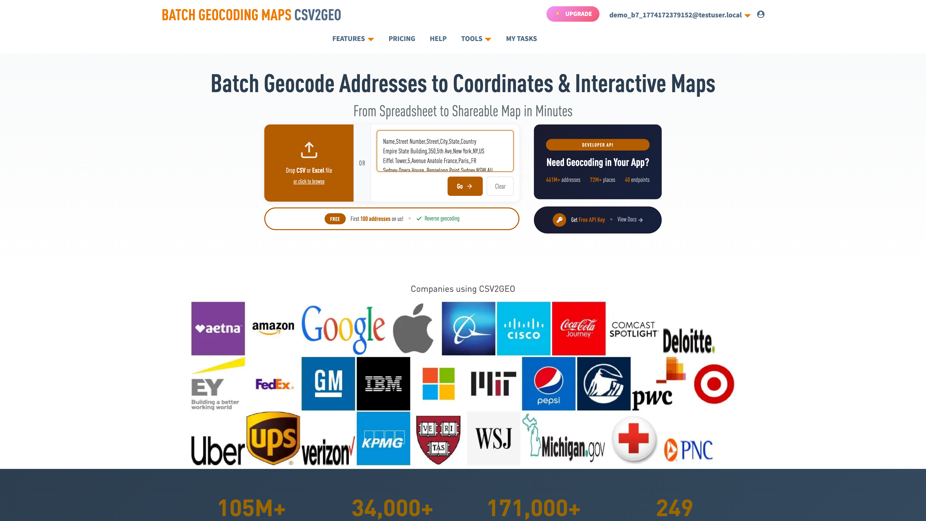
Method 1: Free Online Lookup
Go to csv2geo.com/batchgeocoding, type any address, and click Go. The system returns latitude, longitude, and a relevance score instantly. No account needed. Works for addresses in 200+ countries.
Method 2: Bulk Lookup from Spreadsheet
Upload a CSV or Excel file with your addresses to batch geocoding. The system auto-detects address columns and appends lat/long to every row. 100 rows per day free, no credit card. For detailed walkthroughs, see the CSV geocoding guide or the Excel geocoding guide.
Method 3: API for Developers
The geocoding API provides 18 endpoints with 1,000 free requests per day. Forward geocode, reverse geocode, batch, places, and boundary lookups — all from one API key.
curl "https://csv2geo.com/api/v1/geocode?q=350+5th+Ave,+New+York&country=US&api_key=YOUR_KEY"

# Response: {"lat": 40.7484, "lng": -73.9857, "relevance": 1.0, ...}
You can also find the long and lat of any address directly in ChatGPT using the CSV2GEO Geocoder GPT — type an address and get coordinates instantly, no API key needed.
Going the Other Way: Coordinates to Address
If you already have latitude and longitude and need the street address, that is called reverse geocoding. The same tools work in both directions. Upload a file with lat/long columns and select Reverse mode, or use the [Link: reverse geocoding tool | https://csv2geo.com/reversegeocoding] for single lookups. See our [Link: complete reverse geocoding guide | https://csv2geo.com/blog/reverse-geocoding-latitude-longitude-to-address] for a detailed walkthrough.
Frequently Asked Questions
What is the long and lat of an address?
The longitude and latitude of an address are two decimal numbers that pinpoint its exact location on Earth. Latitude measures north/south position (-90 to +90), longitude measures east/west position (-180 to +180). Together they form a unique identifier for any spot on the planet.
How do I find the latitude and longitude of an address for free?
Type your address into csv2geo.com/batchgeocoding for a free instant lookup. For multiple addresses, upload a CSV or Excel file — 100 rows free per day, no credit card.
What format should coordinates be in?
Use decimal degrees (e.g., 40.7128, -74.0060). This is the standard for GPS devices, Google Maps, and all modern software. If you have degrees-minutes-seconds (DMS), convert using: degrees + minutes/60 + seconds/3600.
What is the difference between latitude and longitude?
Latitude measures north-south position (equator = 0°, poles = ±90°). Longitude measures east-west position (Prime Meridian = 0°, ranges to ±180°). Think of latitude as "how high" on the globe and longitude as "how far around."
How accurate are the coordinates?
CSV2GEO provides rooftop-level accuracy for 461M+ addresses across 200+ countries. Every result includes a relevance score — 1.0 means the coordinates point to the exact building. Four decimal places give you approximately 11-meter precision, which is sufficient for any address lookup.
Can I look up coordinates for multiple addresses at once?
Yes. Upload a CSV or Excel file to batch geocoding. The system adds lat/long columns to your file. The API batch endpoint processes up to 10,000 addresses per request.
Why are some longitudes negative?
Negative longitude means west of the Prime Meridian (Greenwich, London). All of the Americas have negative longitudes. Negative latitude means south of the equator — Australia, most of South America, and southern Africa have negative latitudes.
What is the Prime Meridian?
The Prime Meridian is the 0° longitude line running through Greenwich, London. It was established as the global standard in 1884 at the International Meridian Conference in Washington, DC. All longitudes are measured east or west from this line.
Find the Long and Lat of Your Addresses
Ready to find coordinates? Look up any address for free, or upload a spreadsheet for bulk geocoding. 100 rows free every day, no credit card.
For programmatic access, the geocoding API provides 18 endpoints with 1,000 free requests per day. For the reverse direction — coordinates to addresses — use the [Link: reverse geocoding tool | https://csv2geo.com/reversegeocoding].
Need help? Visit our Help center or contact us.
I.A.
CSV2GEO Creator
Related Articles
Use our batch geocoding tool to convert thousands of addresses to coordinates in minutes. Start with 100 free addresses.
Try Batch Geocoding Free →