Geocoding Software for Insurance: Risk Assessment, Claims & Fraud Detection
How insurance companies use geocoding for risk assessment, claims routing, fraud detection, and CAT response. Batch geocode policyholder addresses with HIPAA compliance.
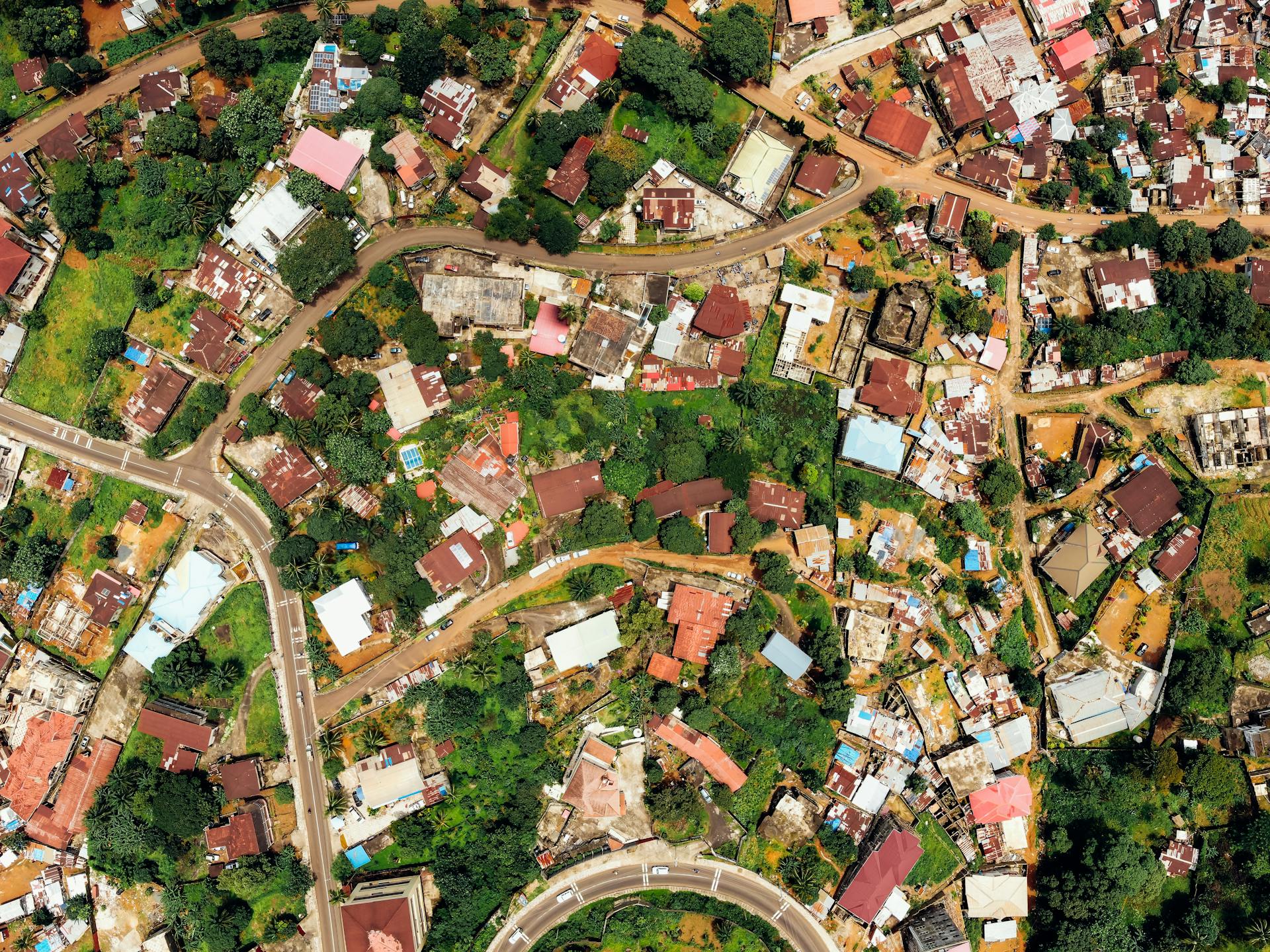
An insurance underwriter in Florida reviews 200 new homeowner applications every week. Each one includes an address. The underwriter needs to know: Is this home in a flood zone? How far is it from the nearest fire station? Is the neighborhood prone to vehicle theft? Every answer depends on one thing — converting that address into geographic coordinates.
Without geocoding, this analysis is manual. The underwriter copies each address into Google Maps, eyeballs the location, cross-references FEMA maps, and makes a judgment call. At 200 applications per week, that is 10,400 manual lookups per year — each one a potential error, each one slowing down policy issuance.
This guide covers how insurance companies use geocoding software to automate risk assessment, accelerate claims processing, detect fraud, and manage territories — with practical steps you can implement today.
What Geocoding Means for Insurance
Geocoding converts a street address into latitude and longitude coordinates. For insurance, this is the foundation of location-based risk analysis. Once you have coordinates, you can overlay them with any geographic dataset — flood maps, wildfire perimeters, crime statistics, proximity calculations, census demographics.
The insurance industry has always been location-dependent. Actuarial tables, rate territories, catastrophe models, and fraud detection all require precise knowledge of where a policyholder or claimant is located. Geocoding is the bridge between a street address on a form and the spatial intelligence that drives underwriting decisions.
5 Ways Insurance Companies Use Geocoding
1. Underwriting Risk Assessment
The most common use case. When a new application comes in, the underwriter needs to evaluate location-based risk factors before issuing a policy. Geocoding the applicant’s address is the first step.
| Risk Factor | Data Source | Why Geocoding Is Required |
|---|---|---|
| Flood risk | FEMA National Flood Hazard Layer | FEMA maps use coordinates, not street addresses |
| Wildfire exposure | USGS Wildland Fire Boundaries | Fire perimeters are polygon coordinates |
| Distance to fire station | Protection Class ratings (ISO) | Distance calculation requires lat/lng |
| Crime rates | FBI UCR, local police data | Crime data is mapped by census tract/coordinates |
| Coastal proximity | Shoreline datasets | Distance-to-coast calculations need coordinates |
| Earthquake zone | USGS Seismic Hazard Maps | Seismic risk polygons are coordinate-based |
| Hail/wind exposure | NOAA Storm Events Database | Storm path data uses geographic coordinates |
With batch geocoding, an underwriter can process an entire book of business — thousands of addresses — in minutes. Upload a CSV of policyholder addresses, get coordinates back, then join with risk datasets for automated scoring.
2. Claims Processing and Adjuster Routing
After a weather event, insurance companies receive hundreds or thousands of claims simultaneously. Each claim has an address. Geocoding these addresses allows the claims team to:
- Map all claims on a single dashboard to visualize the affected area
- Route field adjusters efficiently by clustering nearby claims
- Prioritize claims by severity based on proximity to the event epicenter
- Cross-reference claimed locations with actual storm/flood/fire boundaries
A property insurer processing 2,000 hurricane claims can geocode all addresses in under 5 minutes with batch processing, then use the coordinates to create optimized adjuster routes that reduce drive time by 30-40%.
3. Fraud Detection
Address fraud is one of the most common insurance fraud schemes. Policyholders provide false addresses to get lower premiums — claiming a vehicle is garaged in a low-crime suburb when it is actually kept in a high-crime urban area.
Geocoding helps detect this in several ways:
- Geocode the claimed address and compare coordinates with telematics data (where the vehicle actually is)
- Check if the geocoded location matches the rate territory used for pricing
- Identify addresses that geocode to vacant lots, commercial properties, or non-residential locations
- Flag addresses with low confidence scores — they may not exist
The confidence score from geocoding is particularly valuable here. A score of 1.0 means the address matched exactly at the rooftop level. A score below 0.5 means the geocoder could only match to a city or postal code — the specific address may be fabricated.
4. Territory Management and Rate Filing
Insurance rates vary by territory. Every state requires carriers to file rates by geographic area. Geocoding ensures each policy is assigned to the correct rate territory.
- Geocode all policyholder addresses and assign to ISO territories, ZIP codes, or custom rating zones
- Validate that rate territory assignments match actual policyholder locations
- Identify policies that may be rated in the wrong territory due to address errors
- Generate territory-level reports for state regulatory filings
5. Catastrophe Response (CAT Teams)
When a natural disaster strikes, insurance companies activate catastrophe response teams. Speed matters — the faster you identify affected policyholders, the faster you can begin claims outreach.
- Download the disaster boundary (hurricane path, flood extent, wildfire perimeter) as coordinates
- Batch geocode all policyholder addresses in the affected states
- Run a spatial query: which geocoded addresses fall inside the disaster boundary?
- Generate a contact list of affected policyholders within hours, not days
This process, which used to take days of manual work, can be completed in under an hour with batch geocoding and basic GIS tools.
How to Geocode Insurance Data (Step by Step)
Most insurance data lives in CSV or Excel files exported from policy administration systems. Here is how to geocode it:
Option A: Upload Your File (No Code)
- Export your policyholder addresses from your PAS/CRM as a CSV or Excel file
- Go to csv2geo.com and drag the file onto the upload area
- Map your address columns (street, city, state, ZIP, country)
- Click Process — the first 100 rows are free every day
- Download the result with Latitude, Longitude, Formatted Address, and Confidence Score columns added
Your original data is preserved. New columns are appended. You can then import the geocoded file into your GIS, mapping tool, or risk analysis platform.
Option B: API Integration
For ongoing geocoding needs (new applications, nightly batch runs), integrate the CSV2GEO API directly into your workflow:
curl "https://csv2geo.com/api/v1/geocode?q=123+Main+St,+Miami,+FL+33101&country=US&api_key=YOUR_KEY"

# Response:
{
  "results": [{
    "location": {"lat": 25.7617, "lng": -80.1918},
    "formatted_address": "123 Main St, Miami, FL 33101, US",
    "accuracy": "rooftop",
    "accuracy_score": 1.0,
    "components": {
      "street": "Main St",
      "city": "Miami",
      "state": "FL",
      "postcode": "33101",
      "country": "US"
    }
  }]
}
The API supports batch processing — up to 10,000 addresses per request. For an insurance company processing nightly policy feeds, this means geocoding an entire day’s applications in a single API call.
Privacy and Compliance: HIPAA-Compliant Geocoding
Insurance companies handle protected health information (PHI) for health and life insurance lines. When geocoding addresses that may be linked to health data, compliance matters.
CSV2GEO supports a HIPAA-compliant mode. Add no_record=true to any API request, and the address is not logged or stored on our servers. The geocoding result is returned, but no trace of the query remains.
# HIPAA-compliant geocoding request
curl "https://csv2geo.com/api/v1/geocode?q=123+Main+St,+Miami,+FL&country=US&api_key=YOUR_KEY&no_record=true"

# Response includes: "_hipaa_compliant": true
This makes CSV2GEO suitable for health insurance carriers, life insurance underwriters, and any company subject to HIPAA or state privacy regulations.
What to Look for in Geocoding Software for Insurance
| Feature | Why It Matters for Insurance | CSV2GEO |
|---|---|---|
| Batch processing | Underwriters process thousands of addresses at once | Up to 10,000 per API request, unlimited via file upload |
| Confidence score | Low confidence = possible fake address = fraud risk | 0–1.0 score with accuracy type (rooftop, interpolated, centroid) |
| HIPAA compliance | Health/life insurance handles PHI | no_record=true mode — zero query logging |
| Rooftop accuracy | Risk assessment needs exact location, not city center | Rooftop-level for 461M+ addresses |
| Reverse geocoding | Convert telematics GPS pings to addresses for verification | Single and batch reverse geocoding |
| 200+ countries | Global carriers underwrite policies worldwide | 200+ countries with 461M+ addresses |
| Address standardization | Policy admin systems have inconsistent address formats | Returns formatted, standardized address components |
| Free tier | Test before enterprise commitment | 100 rows/day file upload + 1,000 API requests/day, no credit card |
Geocoding Tools Compared for Insurance Use Cases
| Tool | Batch | Confidence Score | HIPAA Mode | Global | Insurance-Specific | Starting Price |
|---|---|---|---|---|---|---|
| CSV2GEO | Yes (10K/request) | Yes (0–1.0) | Yes | 200+ countries | No | Free (100/day) |
| Precisely | Yes | Yes | Yes | 240+ countries | Yes (insurance suite) | Enterprise only |
| Smarty | Yes | Yes (DPV) | No | US only | No | $20/month |
| Google Maps | No batch API | No | No | Global | No | $5/1K requests |
| Geocodio | Yes | Yes | No | US/Canada only | Census data append | $1/1K lookups |
Precisely is the incumbent in insurance geocoding but requires enterprise contracts. CSV2GEO offers comparable accuracy and batch capability at a fraction of the cost, with a free tier that lets you test before committing.
Real-World Example: Flood Risk Assessment
Here is a practical workflow an insurance company might follow to assess flood risk across their book of business:
- Export 5,000 active homeowner policy addresses from your policy admin system as a CSV
- Upload to CSV2GEO — get lat/lng coordinates and confidence scores in minutes
- Download the FEMA National Flood Hazard Layer (NFHL) for your states
- Use a GIS tool (QGIS is free) to overlay geocoded addresses on flood zones
- Tag each policy with its flood zone designation (Zone A, Zone V, Zone X, etc.)
- Identify policies in high-risk zones without flood endorsements — these are coverage gaps or pricing errors
- Generate a report for underwriting review and rate adjustments
This entire process takes about 2 hours. Without geocoding, it would take weeks of manual research.
Frequently Asked Questions
Is geocoding accurate enough for insurance underwriting?
Yes. CSV2GEO provides rooftop-level accuracy for 461 million addresses. Each result includes a confidence score (0–1.0) and accuracy type (rooftop, range interpolation, centroid). For underwriting, filter results with confidence above 0.9 and accuracy type "rooftop" for the highest precision.
Can I geocode health insurance data without violating HIPAA?
Yes. Use the no_record=true parameter on API requests. This prevents addresses from being logged or stored on CSV2GEO servers. The geocoding result is returned normally, but no query data is retained. This satisfies the HIPAA minimum necessary standard for address processing.
How many addresses can I geocode at once?
Via file upload: unlimited file size, up to 100 rows/day for free, paid plans for larger volumes. Via API: up to 10,000 addresses per batch request, 3,000 free requests/day. For enterprise insurance workloads, paid API tiers scale to 7.5 million requests/month (API 250) or unlimited (Enterprise/On-Premise), priced separately from any file-upload subscription.
Does geocoding work for international insurance?
Yes. CSV2GEO covers 200+ countries with 461 million addresses. This supports global carriers underwriting policies in Europe, Asia, Latin America, and Africa. Address formats are handled automatically — no special configuration needed for German, Japanese, or Brazilian addresses.
Can I integrate geocoding into my existing insurance software?
Yes. The CSV2GEO REST API integrates with any system that can make HTTP requests. This includes policy admin systems, claims platforms, CRMs, and data warehouses. We also offer integrations with Zapier, Make.com, Google Sheets, and Python/Node.js SDKs.
What happens when an address cannot be geocoded?
The result includes a confidence score of 0 or a status of "NOT_FOUND." This is valuable information — it may indicate a fake address, a new construction not yet in databases, or a data entry error. For insurance, flagging these for manual review is a best practice.
Start Geocoding Your Insurance Data
Upload your policyholder addresses to CSV2GEO and get coordinates with confidence scores in minutes. The first 100 rows are free every day — no signup, no credit card. For API integration, get your free key at csv2geo.com/api-keys (1,000 requests/day free).
Related Articles
Use our batch geocoding tool to convert thousands of addresses to coordinates in minutes. Start with 100 free addresses.
Try Batch Geocoding Free →