Multi Column Support
Comma-Separated Coordinate Input for Reverse Geocoding
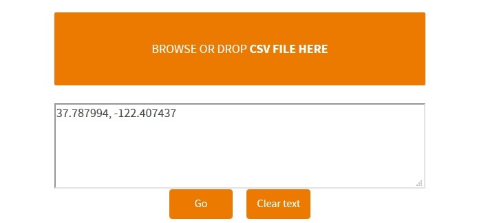
In order to highlight the advantages and functionalities offered by the reverse geocoding feature, we will use the same coordinates for the San Francisco Union Square in California and we will keep the same geographic coordinates for this location, namely “37.787994” and “-122.407437”. But this time we will use a comma in order to separate those two components forming the geographic coordinate for the San Francisco Union Square in California instead of a single column support.

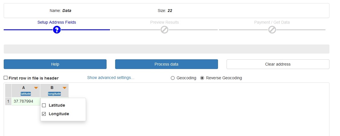
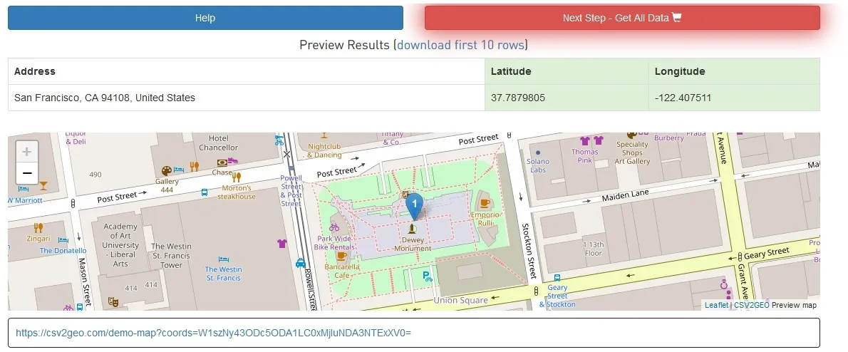
Accordingly, by using the comma for the input data, those two components are now in two separate columns and now for each column the user must select the correct element, namely latitude and longitude. And then the user should click on the “Process data” button. The output result is the same one as in the previous example, but the difference is that the input file is used from two different columns instead of only one column as in the previous example for the same geographic coordinates. This example points out that the CSV2GEO tool is very versatile and flexible regarding the input data in order to run reverse geocoding processes.


This multi-column approach is especially useful when working with datasets where latitude and longitude values are stored in separate columns, which is the most common format for geographic data exports from databases, GPS devices, and spreadsheet applications.