Instant Typing Coordinates
Manual Coordinate Entry for Reverse Geocoding
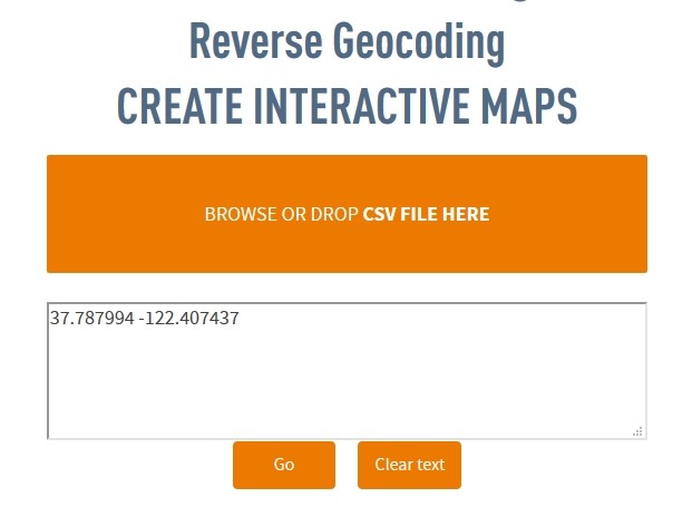
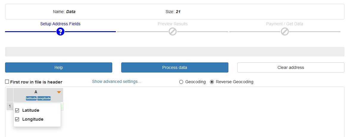
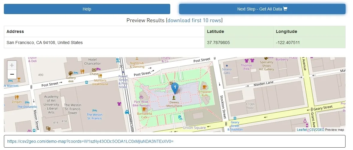
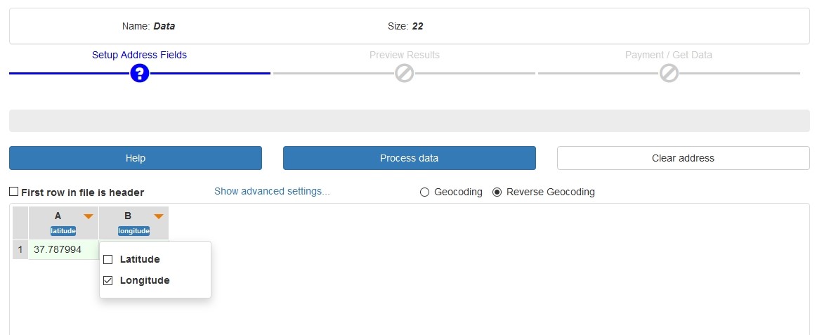
Besides this option to use a CSV file as the input file in order to use the reverse geocoding feature, the user can also use another option, namely to type manually the geographic coordinates in the CSV2GEO geocoder window. For this example, we will use the location of the San Francisco Union Square in California. The geographic coordinates for this location are “37.787994” and “-122.407437” and these coordinates are typed into the CSV2GEO tool. The next step is to choose reverse geocoding process and then to select which one of the above values is latitude and which one is longitude. However, as can be observed below, in this example we have only one column for both values. Consequently, the user should choose the correct order for these values, but both elements are in the same column. Then the user should click on the “Process data” button and the results are obtained.
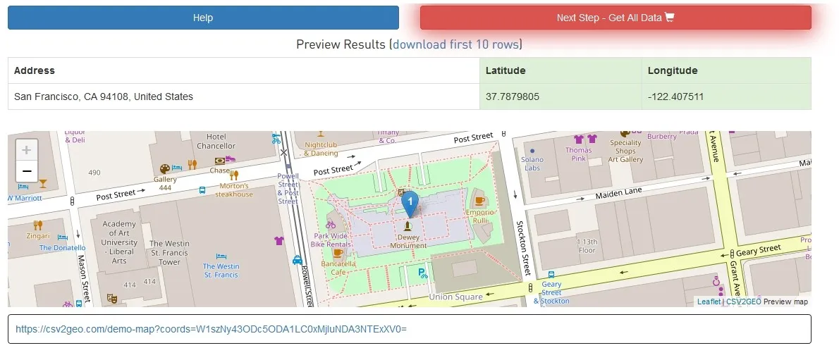
The instant typing option is ideal for quick lookups when you only need to reverse geocode a few coordinates without preparing a CSV file. It works well for verifying individual locations, testing coordinate accuracy, or when working with a small number of data points that can be entered manually.