Feature 2 - Address Spelling Correction
Handling Typos and Errors in Geocoding
There are situations when typing errors may appear and these errors can cause errors in getting the desired coordinates. For example, in GIS by typing values for latitude in the longitude field or vice-versa, the obtained coordinates will be surely completely erroneous. But besides these errors those may appear in cartography, there are small spelling errors that can be done by any user of geocoding tools and GIS applications.
The good news is that using the CSV2GEO tool minor misspelling errors are not a big problem in obtaining the correct coordinates for the locations that you want. Consequently, even if you may introduce a name for an address with a small spelling error (it could happen to anyone), the CSV2GEO tool is ready to help and to assist any user to obtain the correct location coordinates. This feature of correction address misspelling is a great advantage in obtaining the correct coordinates. Moreover, CSV2GEO tool can provide the correct coordinates for a certain location even if the user doesn’t provide the name for the state or the country.
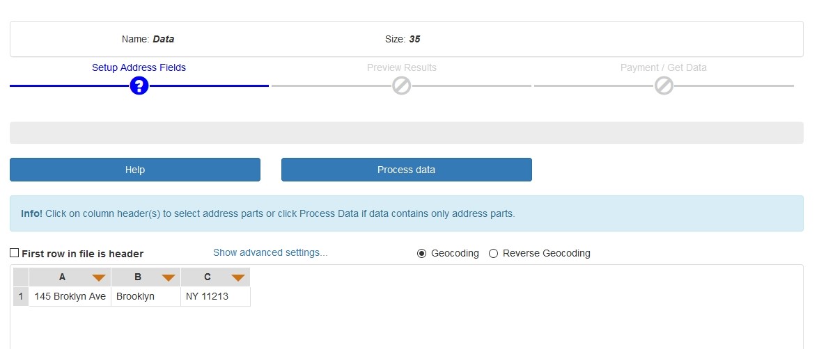
You already know that in order to get geographical coordinates from zip postal code addresses by running the geocoding process or if you want to obtain zip postal code addresses from geographic coordinates by running a reverse geocoding process using CSV2GEO tool you will need a file having a csv extension or you may introduce the address manually by copy-paste. Such a csv file can be obtained from the files used in GIS software, such as shapefiles (shp). These files are usually files having spatial representation, but also an attribute table associated with the spatial representation. Consequently, if you want to obtain geographic coordinates for different addresses or you may want to obtain addresses for several rows with geographic coordinates, you just have to export the table of attributes from GIS software with a csv file extension and then drop it into CSV2GEO tool.
The big advantage of CSV2GEO tool is that here some minor misspelling errors or different characters in fields of csv files are not the end of the world. This tool is ready to provide computer assistance and identify correctly the coordinates for an address, even if there is a letter missing from the address or if not all the capital letters are used appropriate for a certain address. While using GIS software different letters or names may represent a problem in geocoding processes, at CSV2GEO small errors in typing or minor differences in names can be solved automatically by the application. Consequently, don’t hesitate to utilize address spelling correction feature available at CSV2GEO, even more if you had yet to face difficulties in GIS software during geocoding or reverse geocoding processes.
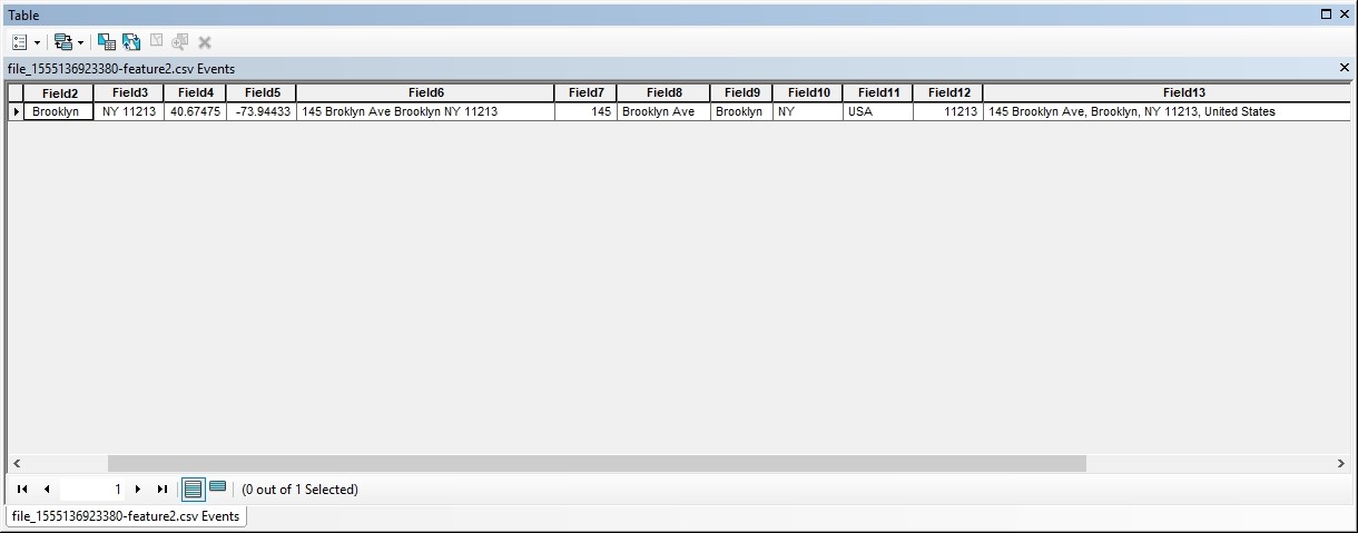
Let’s take the example of Brooklyn Children’s Museum in Brooklyn, New York. First, we will introduce the address for the museum with a slight misspelling error and check if CSV2GEO tool will obtain the correct coordinates. We will observe that finally the coordinates are obtained correctly if we check the map provided by this tool pointing out the location of our point.

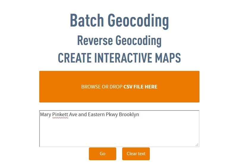
We will take another example and we will assume that we intend to visit the Brooklyn Museum and we have only the information that it is located at the crossroad between Mary Pinkett Avenue and Eastern Pkwy. Consequently, we introduce this in CSV2GEO tool as “Mary Pinkett Avenue and Eastern Pkwy Brooklyn” in order to underline that there are two streets in Brooklyn and then we proceed with the geocoding process in order to obtain the geographic coordinates. Even if we didn’t mention any street number or any county or state, this geocoding tool direct us into the correct location and provide us the geographic coordinates to reach our destination. Consequently, these coordinates are helpful for our GPS device in order to come to the Brooklyn Museum and visit it.

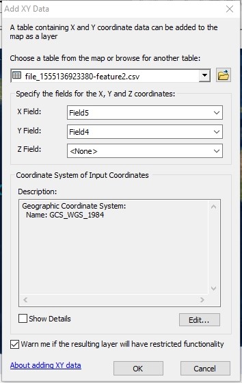
As soon as the coordinates for the desired location are obtained, these coordinates can be downloaded as csv file and utilize it in GIS software. Going further with the example of the Brooklyn Museum, you can use the csv file in GIS software and add the fields for latitude and longitude in order to print it on the map. Furthermore, take care which one is latitude and longitude in the Cartesian system of x and y in order to display the point correctly.
As it can be noticed in the image below, switching the x and y can be definitely a substantial mistake and your location will be on the other side of the Globe (with red point is the correct location, while blue point is the wrong location). Remember that latitude is y value, while longitude is x value. Moreover, when adding the csv file in GIS software, remember to add the projection WGS84 to your points, as you already discovered in “Type of Geocoding” feature.