Geocoding Addresses with Batch Geocoder CSV2GEO
CREATE INTERACTIVE MAPS
CSV2GEO provides live conversion of worldwide batch addresses into geographic coordinates
(address to lat long) or turn coordinates into a well formatted address
It creates and publishes interactive maps
Companies using CSV2GEO

| File | Count | Cost |
|---|---|---|
| Data | ||
Preview Results (download first 10 rows)
| Address | Latitude | Longitude | Relevance |
|---|
Sign up or Sign In by typing email and password.
After that you will be navigated to work history where you can download the file for free.
After that you will be navigated to work history where you will be able to pay for the file.
Batch Geocoding
Set of spacial data converted to latitude and longitude from addresses or location.

Reverse Geocoding
Point location converted to address or location name from latitude and longitude.

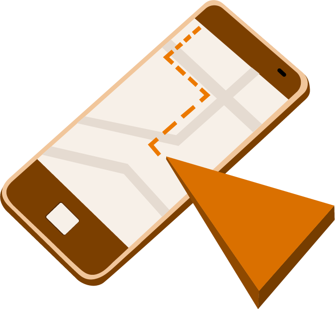
API Services
Application programming interface (API) that takes a set of spacial data, converts it to latitude and longitude from addresses, and produces an interactive map.
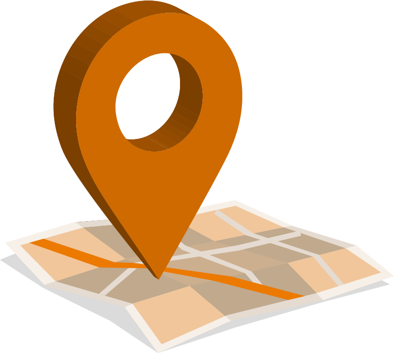
Interactive Map
Digital maps that users interact with using layers and tools embedded inside.

Custom Software Development
Our thirst for quality never stops. We take pride of our final products. We target for performance, reliability, scalability and security. Contact us if you need Software Development.

Explore Michigan Art Museums; Batch Geocoded Interactive Map
Michigan is a state of wide interest and culture. High tech urban areas and remote peaceful areas of natural wonder. A rich history that reaches far back before the settlement of Europeans, the Native Americans inhabited this area since the recession of the last ice age.

Interactive Maps Embedded in Articles and Blog Postings
Ever wish you could create an interactive map to display with your articles and blogs? Do you know how easy it is ? We use an interesting and exciting set of example data to walk you through the process of generating your own interactive maps.

Alabama Bigfoot Sighting With Interactive Map
Bigfoot, Sasquatch, Yeti, Abominable Snowman, etc. are all names given to describe some being or group of beings said to inhabit remote areas of North America. Although descriptions, locations and accounts differ somewhat, most seem to share the common theme of as a large, hairy, muscular, bipedal man/ape-like creature between 6 and 9 feet tall covered in hair described as black, dark brown, or auburn.

How to Reverse Geocode Data from a Large GPS-IERS Data File?
Many people are familiar with geocoding in their everyday lives even if they don’t recognize it by name. For example, anyone using the Google Maps app to get driving directions is using geocoding. Today at least a quarter of all internet searches involve some type of mapped address as a result. It has become like the “bread and butter” of internet business. Latitude and longitude data provided by geocoded address results are considered quite normal. However, the term “geocoding” is not that popular and often creates confusion to the general population.

What Components Are Necessary When Geocoding a Batch of Addresses?
There is no historical data telling us when we first used written addresses, but presumably it was long ago. Today, addresses including latitude and longitude coordinates are an essential part of our life. Location driven searches account for at least 20% of all traffic on the internet. Millions of addresses are geocoded daily and the majority of those are done with batch geocoding tools. However, only very experienced geocoders appreciate how address components are used during the geocoding.
We separate an address into six major components (tokens) and give the user the ability to dynamically associate on the fly one or more file columns to a single address token. If reverse geocoging is desired, the user can select the reverse geocoding radio button and then select which columns are latitude and longitude.
Clicking on the Process button will process the first ten addresses and compile and display their geolocation. In case of reverse geocode it will process the first 10 latitude and longitude coordinates and produce the full addresses.
After a successful payment, batch geocoding will be performed and the output file that includes latitude, longitude and some additional attributes can be downloaded. We preserve the original structure of the input and only add to it the final results.
-
It is built with simplicity and flexibility to allow easy batch geocoding by converting address to lat long.
-
It accepts any type of address tokens and process them into geographic coordinates with minimal interaction from the user.
-
It provides very accurate online geocoding rooftop results. It also provides live, real time geocode conversion.
-
Creates a map from the geocoded list. Publish/share interactive maps. Mapping double radius, administrative, and other regions.
-
Designates unique color map markers. Filter by list columns and column values. Set up marker icons from library.
-
Mark visited map markers to track progress. Add custom notes to map markers.
-
It is built with responsive design—works natively well on a laptop, iPod, or a smartphone.
-
It has a unique authentication/authorization mechanism, so the user does not have to even remember their password when geocode lookup.
-
It processes first 100 geographical addresses as free geocoder.
-
It provides reverse geocoding to well formed address.
CSV2GEO has taken batch geocoding to another level, where the focus is on creating output that can be used as a foundation for accuracy for geolocation. Using that foundation, the system creates automatically interactive maps. These maps allow users to customize the result of the batch geocoding and present/share the outcome to different audiences.
This is the opposite approach of what most data vendors are doing, where they put focus on everything else but not the geolocation. From the ground up, CSV2GEO focus on the geolocation first as a cornerstone for building spatial interactive maps and transfer the power from batch geocoding into the maps and reports.
Use Cases for Latitude and Longitude Lookup
Civic and Political ActivismRunning a political campaign, care about a policy, or you simply want to put a petition on the ballot. |
Financial ServicesAs a bank or audit,advisory institution, geolocation is essential part of tracking and assessing projects and engagements |
JournalismJusrnalists work with facts and facts are often related to bulk geolocation and an interactive maps |
EducationHundreds of universities and schools use CSV2GEO for their geocoding projects and research |
Company InventorySupply chain is driven by time and geolocation these days. Delivery and transpost grapths cannot be done without using geocoding. |
Real EstateGeolocaiton and batch geocoding is the foundation of real estate business. It is like a treasury map with clues. |