Blog Post for Batch Geocoding, Interactive Maps, GIS page 3
From Paper Maps to Digital GIS Maps
Introduction
Since the ancient time, Cartography has an important role in human society. Moreover, the results of this domain, namely maps, have been a decisive tool in political movements, geographical discoveries and wars to conquer new territories. Having such a long history and many important roles in the actual geopolitical aspect of the world, cartography and maps have developed simultaneously with technology.
Continue to From Paper Maps to Digital GIS Maps
Help Endangered Species Problem Using Address to Lat Long
Introduction
The problem of species extinction is greatly common nowadays. Unfortunately, a tremendous number of species have been extinct in the last decades at the global scale and numerous other species are under the pressure of extinction now. North America has also an important number of species those are endangered. According to the United States Environmental Protection Agency (EPA), currently more than 1,300 endangered species are counted in North America. This fantastic number of endangered species represents a real problem for the wildlife management in North America.
Continue to Help Endangered Species Problem Using Address to Lat Long
How Can Police Improve Crime Prevention Using Geocoding
Crime and human communities
Despite the fact that human society has evolved during the centuries, violence and crime incidents are still present among humans. Moreover, big cities are some of those human communities having the highest rate of crime incidents. Consequently, these communities need some solutions to reduce and prevent such undesired human actions.
We are sure that you have seen many movies where detectives and criminal investigators were using different maps plotted on walls and pins were showing each crime on a certain area. Well, this way of marking crime events was specific for the 70’s or 80’s. Nowadays, based on the increasing of geospatial data and development of numerous Geographic Information System (GIS) software, crime mapping has evolved and it can be done more accurate, easier and more intuitive.
Continue to How Can Police Improve Crime Prevention Using Geocoding
How Tourist Vendors Can Benefit From Geocoding And Reverse Geocoding
Tourism is a major economic field in the modern global economy
Nowadays, tourism is one of the most important economic domains contributing to the global economy. Similar to other economic fields, tourism is highly influenced by the emerging technological applications that are released constantly. Technology and information technology development play an essential role in tourism expansion and development.
Between tourism and location should use the sign of equality. Consequently, location-based services in the tourism industry are necessary nowadays.
In the tourism industry, each attraction or hotel receive numerous pins or identifiers such as address, photos, descriptions, and telephone numbers. But the most important identifiers are represented by geographic location and address because in order to reach any location on Earth you need to have the geographic coordinates of that point.
Moreover, even if you know the geographic location and you are in a big city, you have to know the address of that point. Due to this, geographic coordinates must be transformed into an address location. However, the reverse process is also necessary, since you may know the address of your hotel, but you don’t know exactly its geographical location. Due to this, it is necessary to transform the postal address into geographic coordinates. These processes of geographic location and postal address conversions are called geocoding, respectively reverse geocoding.
Continue to How Tourist Vendors Can Benefit From Geocoding And Reverse Geocoding

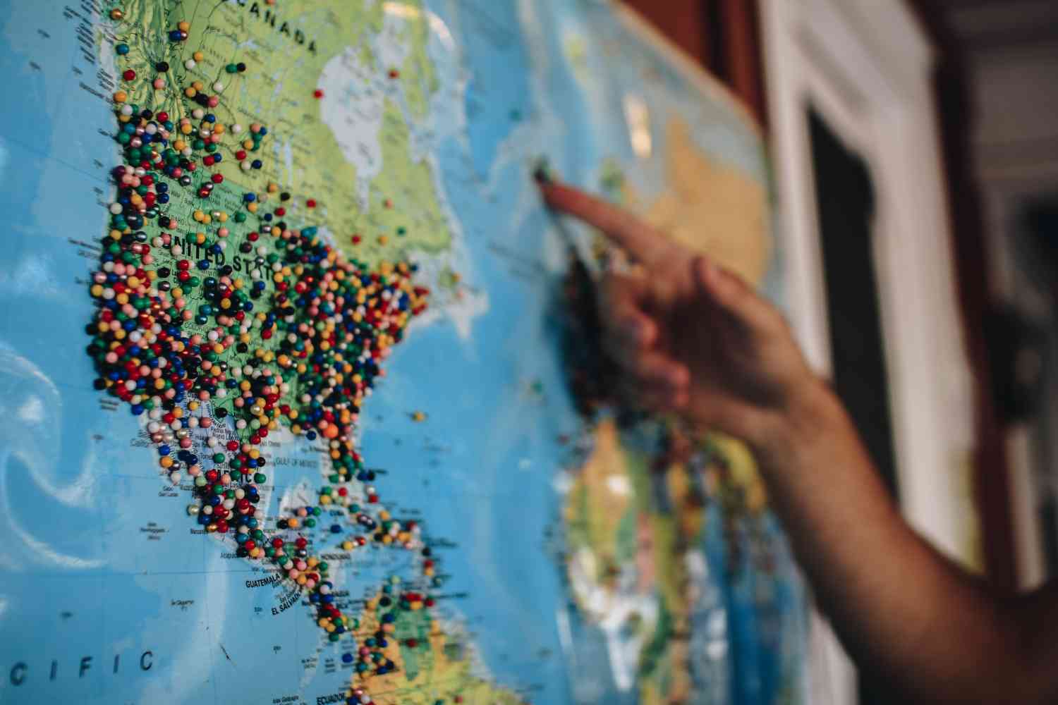
Benefits of Large Volume of Data Via API Using OSM Geocoding
Geography as a great business
Nowadays, location is a key feature of our lives. Since maps are present everywhere nowadays – outdoor kiosks, automobile dashboards, smartphones, and other mobile devices - maps are used by millions of people in a wide range of domains, all over the world. Consequently, geography is a major business and large amounts of money are involved in location industries and geospatial data providers.
Continue to Benefits of Large Volume of Data Via API Using OSM Geocoding

Role of Location Intelligence in Business Development
What is location intelligence?
Location intelligence (LI), known as spatial intelligence, is defined as the methods and tools that interconnect geospatial information with business data. The aim of location intelligence is to identify the relationships and patterns of decision-making. Without a spatial representation decision-making process may be rather complex.
LI can be segmented by service, geography, organization size, application, and by industry.
Continue to Role of Location Intelligence in Business Development
![]()
The Impact of Secondary Address Designators on Coordinates
Geocoding, along with converting the latitude and longitude of a physical address, is becoming inseparable from our daily lives. Conversely, without the use of latitude and longitude coordinates, the online industry will collapse. Passing the address and expecting to obtain exact geolocation in return sounds like an easy assignment. However, not every batch geocoder is designed to handle the function properly. For example, consider the inclusion of the secondary unit designators typically attached to an address. The secondary unit designators represent additional information designed to guide the user in finding the address. Examples of such designators are:
Apartment APT
Building BLDG
Lobby LBBY**
Suite STE
#
The list of designators can continue indefinitely.
Continue to The Impact of Secondary Address Designators on Coordinates
Door-to-door Canvassing Guide - Safety During Canvassing
The first and foremost rule to follow during a door-to-door canvassing campaign is safety. To make sure everyone is safe, special attention from the campaign manager and the team members should be paid to safety and security. Ordinarily, the campaign manager will go over security precautions during dry training and will explain the rules for other canvassers to adhere to. Here is a list of some guidelines for the establishment of canvassing safety.
Continue to Door-to-door Canvassing Guide - Safety During Canvassing
Door-to-door Canvassing Guide - It is All Management
All campaign managers, both new and experienced, are often faced with the question, what is canvassing? The question itself goes beyond geolocation, mapping, or door-to-door canvassingsoftware. It is primarily related to the management. Gone are the days when Abraham Lincoln canvassed the rural areas in Illinois to determine traveling salesman patterns. Now, political canvassing involves full job management, equipped with technology.
When it comes to political canvassing, the whole team is responsible for managing the campaign, rather than it being a task for the campaign manager. Managing such a campaign requires being able to work under the pressure of tight deadlines and uncertainty.

Continue to Door-to-door Canvassing Guide - It is All Management
Door-to-door Canvassing Guide - Flash Mob
In the case of larger campaigns, including national or statewide campaigns, passionate volunteers might forget the purpose of their involvement and redirect their energy, resources, and momentum from the actual campaign to different kinds of activities. Conversely, one of the favored side activities of the volunteer is creating and facilitating flash mobs.
Why Flash Mob
What is a flash mob? It is an event that “spontaneously” occurs on busy street intersections, squares, or bridges and involves a large group of individuals with written or created custom signs. Ordinarily, such events are usually coordinated through social media, such as Facebook or Twitter, or a group meeting.
The flash mobs, as we know them today, originated at the beginning of the 21st century and gained a reputation during the regime of George W. Bush and Dick Cheney. Flash mobs became more integrated into the political process with Ron Paul’s Campaign for Liberty in 2008 and 2012. Moreover, the supporters of Bernie Sanders and Donald Trump actively initiated flash mobs during the 2016 presidential campaigns.
Continue to Door-to-door Canvassing Guide - Flash Mob