Blog Post for Batch Geocoding, Interactive Maps, GIS page 2
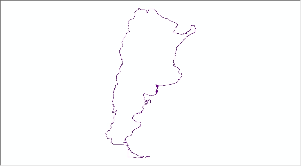
Hospitals in Upper Peninsula of Michigan
Geocode an Excel file of addresses for Hospitals in Michigan’s Upper Peninsula
The Upper Peninsula of Michigan, also known as “God’s Country”, for its clean water and air, natural beauty, warm and hospitable inhabitants, and their laid-back pace of life. Yes, there is so much to do and explore that this article cannot begin to do it justice, but one thing you will need to be informed of is staying safe and healthy. Things can get a bit remote at times in theUP and it’s a good idea to have some emergency preparations and first aid and an awareness of how to find the nearest hospital.

Continue to Hospitals in Upper Peninsula of Michigan
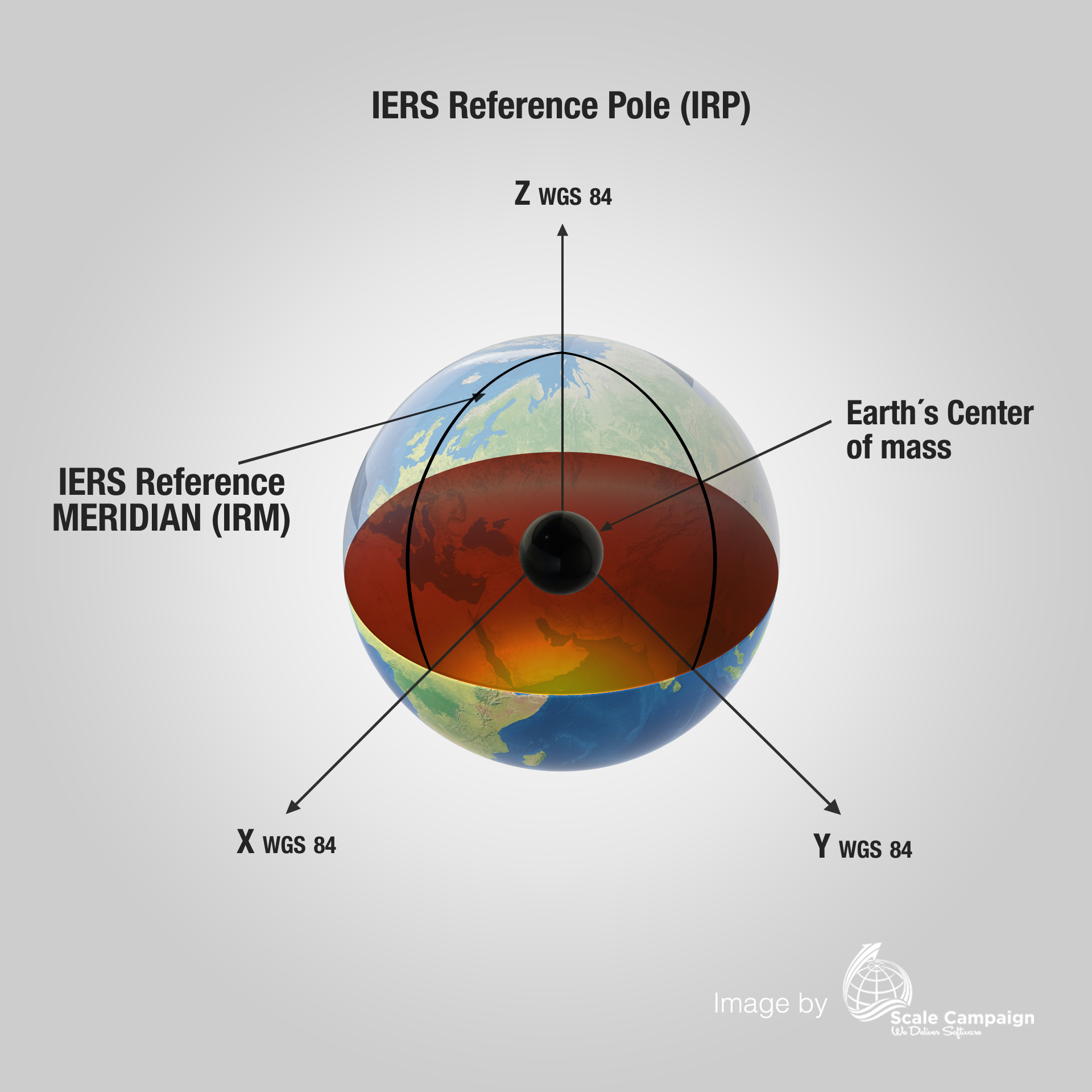
How to Reverse Geocode Data from a Large GPS-IERS Data File?
Many people are familiar with geocoding in their everyday lives even if they don’t recognize it by name. For example, anyone using the Google Maps app to get driving directions is using geocoding. Today at least a quarter of all internet searches involve some type of mapped address as a result. It has become like the “bread and butter” of internet business. Latitude and longitude data provided by geocoded address results are considered quite normal. However, the term “geocoding” is not that popular and often creates confusion to the general population. Things get more complicated when we next mention “reverse batch geocoding” of files. Even more complicated yet when we discuss “reverse batch geocoding of exceptionally large files”.
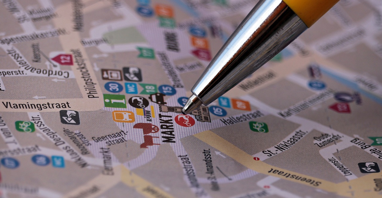
Continue to How to Reverse Geocode Data from a Large GPS-IERS Data File
How to Get Latitude and Longitude from Postal Address?
Find yourself needing latitude and longitude data such as Global Positioning System (GPS) or International Earth Reference System (IERS), given only postal addresses? For a small few, you can simply use Google Maps, enter the address and in the URL bar Google provides the desired coordinates. That approach can work for a while with small data sets. However, what about when the number of addresses grows? You could become stuck with a tedious task you think could be automated. You may believe there must be a better way. And sure enough, you would be right.
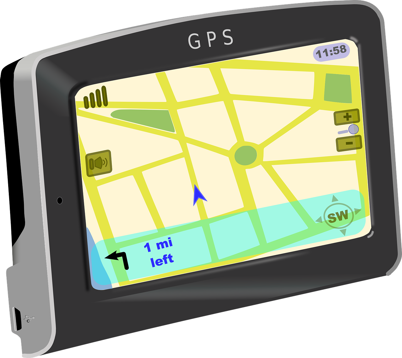
Contine to How to Get Latitude and Longitude from Postal Address?
How to Geocode a Large File?
From time to time, you may be required to geocode an exceptionally large file. This isn’t as complicated as you may think, but it still requires a lot of work. To geocode process a huge batch file of addressed, for example, hundreds of thousands or in millions of addresses can be a processing challenge. In this case, file size and the clean, efficient management of the data input and output matters plenty.

How to Get Latitude & Longitude Coordinates of a Batch Address Files for Free?
Whether you manage a small business, or a local government function, often you may need to obtain latitude and longitude GPS coordinates from postal addresses. Obtaining that data quickly and with great accuracy is important. Imagine if local agencies need location data for violent or narcotic crime activities. Location GPS data could be invaluable to multiple social and policing agencies working to prevent repeated criminal activity by locating the “hotspots” and help them save lives.
Continue to How to Get Latitude & Longitude Coordinates of a Batch Address Files for Free
What Components Are Necessary When Geocoding a Batch of Addresses?
There is no historical data telling us when we first used written addresses, but presumably it was long ago. Today, addresses including latitude and longitude coordinates are an essential part of our life. Location driven searches account for at least 20% of all traffic on the internet. Millions of addresses are geocoded daily and the majority of those are done with batch geocoding tools. However, only very experienced geocoders appreciate how address components are used during the geocoding. Today, we will go over the specific details of how best to choose address components necessary to perform well executed batch geocoding.

Continue to What Components Are Necessary When Geocoding a Batch of Addresses
How to Convert Address to Lat Long
Geolocation has become the last ten years the bread and butter for how people navigate in their daily life. With he invasion of cell phone technology, automation cars, and social media marketing, everything these days gets translated to spatial geolocation. Most of the time, latitude and longitude are automatically obtained from machines and humans get the final result without worry how address gets converted into coordinates. However, now and then, a manual conversion is needed. If that is your case, this article will help you do that.
How to Make a Map?
Maps are used since the ancient times in various ways. During the time maps have changed constantly as a result of progress in technology. However, modern maps are mostly in digital form and many of them are interactive maps. Nowadays, maps are present in our lives every day as part of different applications that we use daily on our smart phones, tablets and laptops. Moreover, if in the past only cartographers could create and work with maps, currently anyone uses maps in different purpose and almost anyone can create maps using different friendly platforms and just few clicks may help you to obtain a custom map.
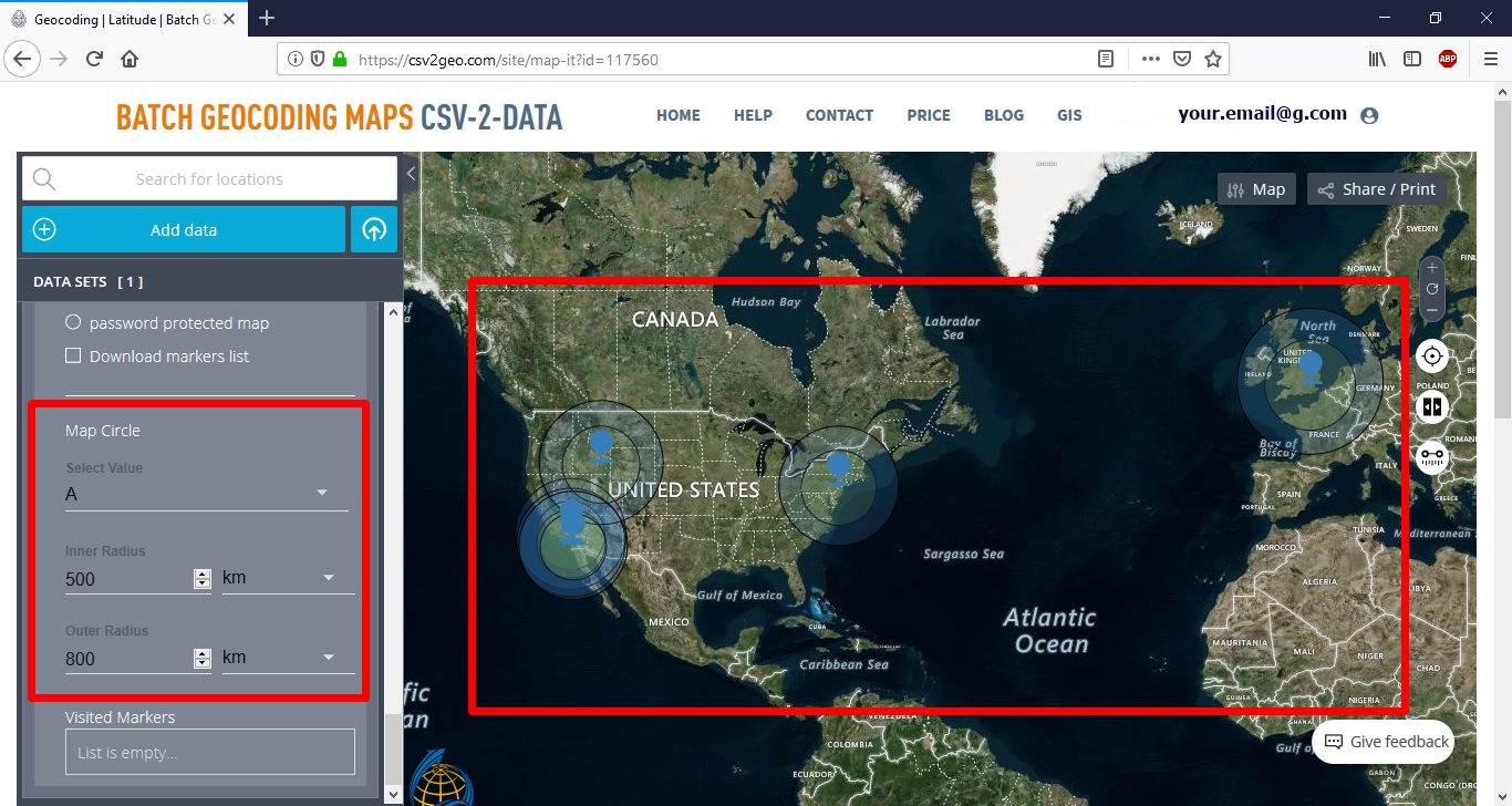
How to Map Your Data Using Create Interactive Maps on CSV2GEO?
The world can be easier understood using maps as geographic tools to visualize and analyze different features. Nevertheless, in the past decades mapping experienced a progress due to the digital technology and Geographic Information System (GIS). Moreover, GIS is the domain that nowadays has a remarkable progress and development. Consequently, based on the development of Geographic Information System most of the maps done on paper in the past are nowadays available in digital format. Accordingly, digital maps are available both as static digital maps or interactive digital maps. The advantages of digital maps are manifold and a large number of domains are using nowadays digital maps in a wide range of applications. However, we are sure that you have used or at least you know applications such as Uber, Booking.com, AirBnb or Strava. These applications use in their background digital maps and digital data that have been previously geocoded in order to show zip postal code addresses on the map.
Continue to How to Map Your Data Using Create Interactive Maps on CSV2GEO
Data Conversion and Management in GIS
Introduction
Modern maps are created using Geographical Information System (GIS) and there are two types of primary data used to map both printed and digital maps, namely vector data and raster data. Both these data are combining in order to obtain all kinds of maps. During the mapping processes, different data conversion and data management are required to get the desired result. In the following paragraphs, you will discover few details regarding data conversion and data management in GIS environments and GIS maps production.
Continue to Data Conversion and Management in GIS