Data Conversion and Management in GIS
Introduction
Modern maps are created using Geographical Information System (GIS) and there are two types of primary data used to map both printed and digital maps, namely vector data and raster data. Both these data are combining in order to obtain all kinds of maps. During the mapping processes, different data conversion and data management are required to get the desired result. In the following paragraphs, you will discover few details regarding data conversion and data management in GIS environments and GIS maps production.
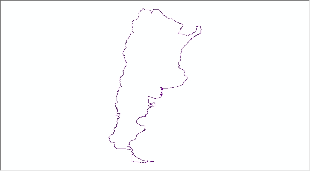
(image above - Country borders as line)
Few words about vector and raster data
Vector data is represented by vector graphics such as vertices and paths. In GIS environments vector data may be displayed as three types, namely point, line and polygons (or areas). Each one of this type of vector representations may be used in order to map different objects in the real world. Points are used to symbolize different events, features or elements that may not be shown as polygons at certain scales. Lines or polylines are vector data utilized to map real world features that may be designed as lines, such as rivers, roads, borders and so on. Lines are connecting two points. Finally, polygons may be used in order to represent different features those may be mapped as they look in the field at certain scales or to represent large areas like countries, counties, regions, lakes and so on. Polygons are connecting vertices and they close a path of vertices and lines. Vector data has an attribute table linked to the spatial data. Each vector attribute table may be populated with a different kind of data and information, both text and numeric data. Consequently, using the data introduced into the attribute table different parameters may be shown on the map.
Speaking about raster data, you must know that this type of data in a GIS environment is shown as a continuous area of grid cells or pixels. In GIS, there are two types of raster data: discrete raster and continuous raster. Discrete rasters are made of different categories of thematic classes. Usually, discrete raster is represented by integers that are assigned to each class of a certain category. Examples of discrete rasters are soil maps and land use maps. On the other hand, continuous rasters are those with a gradual change of pixels. Phenomena represented as continuous rasters vary gradually. Some example of continuous rasters may be elevation, temperature or satellite images.
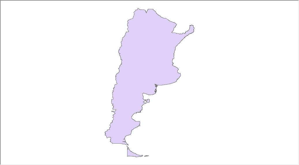
(image above - Conversion from line to polygon)
Data conversion in GIS
Mapping may need to convert data in order to obtain the desired results. Consequently, you may need vector data obtained from scanned maps or you may convert vector data into raster data. These conversion steps are something common as GIS techniques. In order to obtain digital data, the process called vectorizing or digitizing is necessary. To digitize means that raster data is transformed into vector data. The reverse process involves the conversion from vector data into raster data, if different analyses are necessary.
Sometimes you may need to convert polygons into lines or lines into polygons. Or maybe it is necessary to convert from lines into points. All these kinds of conversions can be made in GIS environments using different techniques. On the other hand, rasters may be also transformed from different types of rasters into other formats. For example, a raster having a GRID extension may be converted into a Tiff or GeoTiff extension. Moreover, rasters may need conversion as values for pixels. You may have a raster having integer values and you may want to transform it into a raster having float values. Again, these conversions may be performed using GIS techniques and GIS software.
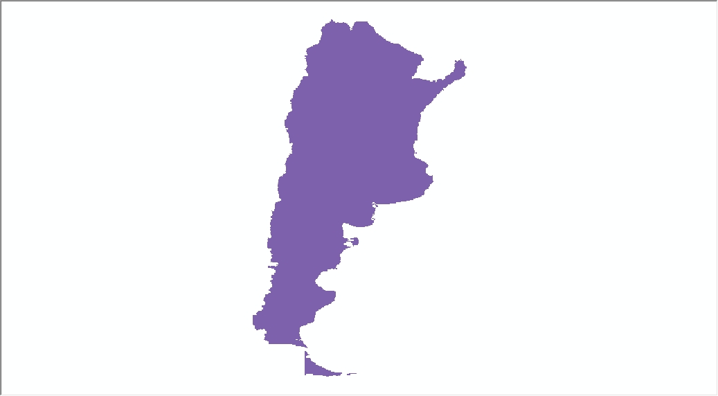
(image above - Conversion from vector /polygon to raster)
Data management in GIS
One of the biggest advantages of GIS data is that once you have created digital data for certain regions or purposes, you may use that data in a long time. But it is necessary to update and to modify some aspects of the data over time. Accordingly, data management is always necessary in GIS databases.
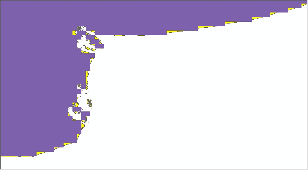
(image above - Detail showing raster (purple) overlaying vector (yellow) to show the difference between raster and vector data, where raster data is based on pixels and due to this the raster doesn’t has smooth borders)
As we have mentioned above, vector datasets have table attributes associated with the spatial data. Data management of vector datasets involves creating fields in those tables, deleting fields if necessary or updating the table of attributes from time to time. Moreover, vector datasets table of attributes can be joined with other tables such as Excel files. Vector data management can involve also changes and updates in the spatial data, meaning operations like editing, splitting, erasing or correcting.
Data management for raster datasets is less complex, but some aspects should be discussed. Depending on the project, a raster may need to be resampled or several raster datasets can be merged together to complete the project. Data management of raster datasets may also involve extracting different surfaces from rasters using vector polygons.
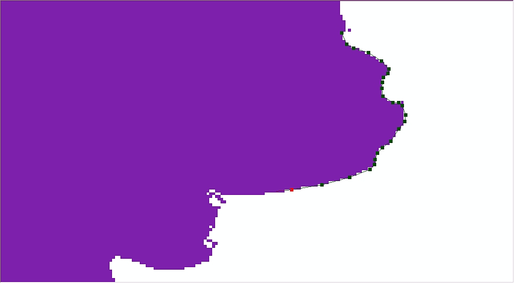
(image above - Digitizing process showing vertexes and arcs/dark green points and lines)
Let Scale Campaign help you with GIS data
Whether you have a large GIS dataset or you have a small one, we are ready to provide you the services that you need to manage your GIS data. Our product CSV2GEO is ready to help you with data conversion in GIS environments according to your requirements. Moreover, if you don’t have the data that you need to complete your project; Scale Campaign may generate or obtain that data for you.
In order to facilitate our collaboration with you, we have an order form related to data conversion and management. We would like to ask you to complete as many details as you have regarding the project that you need in GIS data management or conversion. In this way, we can deliver faster services and the results that you expect.
Concluding remarks
Geospatial data is highly complex and diverse. Each mapping project or geospatial data management project has their requirements. If you feel that working with GIS data is quite challenging for you, Scale Campaign may be the best choice in geospatial data management. Whether you consider that updating the table of attributes or spatial data is time consuming, or converting geospatial data is a complicated task, you should choose CSV2GEO and your issues with geospatial data are solved.